 Nuclideon
 Your team works on the full dataset together. Every point visible. Every change preserved.
Your team spent weeks cleaning, aligning, and classifying that data. Then the pipeline threw half of it away.
Your team spent weeks cleaning, aligning, and classifying that data. Then the pipeline threw half of it away.
Your survey crew captures 2TB in a day. Your client sees it six weeks later, after your team installs software on every device, provisions GPU infrastructure, and pre-processes the dataset into something smaller than what you captured. Each step is sequential. Each step loses fidelity.

Specialist software on every stakeholder's machine.
Every project manager, client, and field supervisor who needs to review data currently installs specialist desktop software and meets GPU hardware requirements before opening a single file. udCloud removes that barrier for anyone who needs to see, measure, or share.
Provision GPU infrastructure.
Cloud-hosted 3D rendering platforms require GPU instances at the server, the client, or both. Every user you add scales your GPU bill. Remote sites need GPU hardware on-premise or a dedicated cloud instance. Neither is cheap. Neither is fast to provision.
Pre-process before sharing.
Before anyone can open a dataset, your team tiles it, subsamples it, and converts it. A 1TB capture takes an hour of processing on a good machine, before it goes into whatever pipeline your client's platform requires next. Every conversion step is a decision about what to throw away.
We removed the pipeline. Your data goes from capture to anyone.
We removed the pipeline. Your data goes from capture to anyone.
udCloud streams only the points visible in your current view. Open a URL in any browser for instant access. Connect udStream Analyst for measurement, analysis, and curation without browser memory limits. The Unlimited Detail™ engine renders client-side on CPU. No GPU anywhere in the stack.
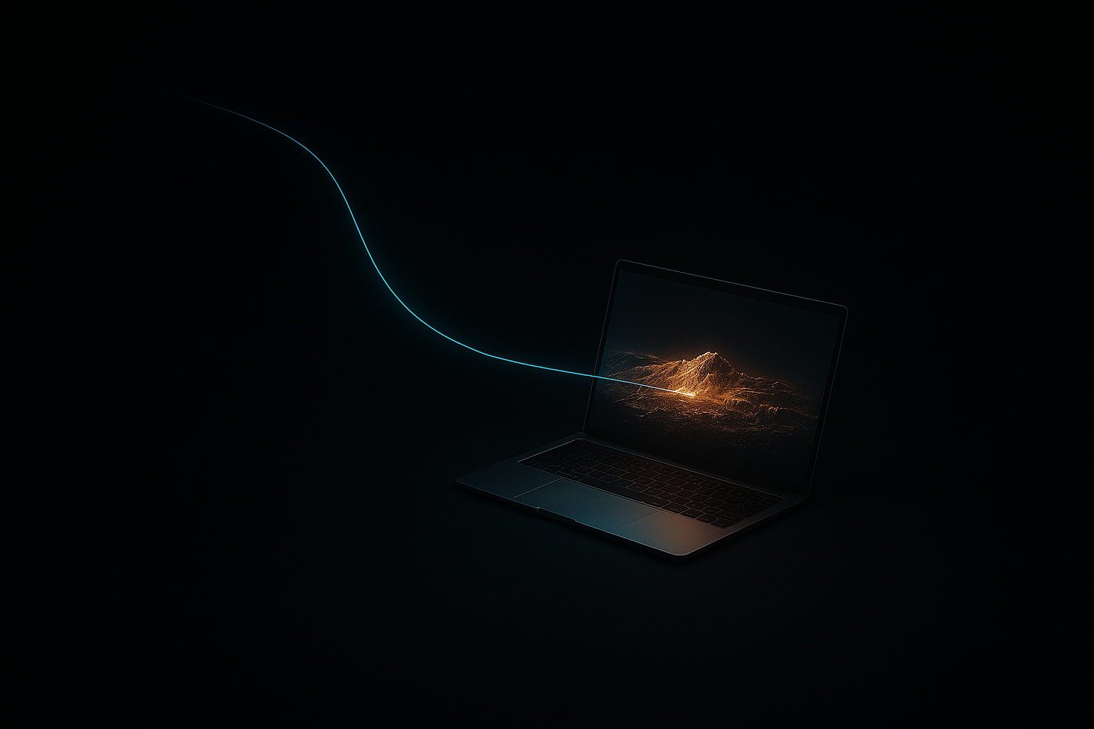
Everything your team needs. Nothing your IT team has to touch.
Everything your team needs. Nothing your IT team has to touch.
- Browser or app. Zero barriers.Your stakeholders open a URL and navigate a terabyte dataset in Chrome, Firefox, Safari, or Edge. No install, no GPU, no waiting. Teams that need the full measurement, analysis, and curation toolset connect udStream Analyst to the same udCloud-hosted data without browser memory limits.
- Low-bandwidth deliveryThe Unlimited Detail engine streams only the points visible in the current view, so bandwidth tracks your screen resolution, not the size of the dataset. Larger datasets add only the extra index levels needed to find the same on-screen points, far less than proportional. Field-grade connections at remote sites, corridors, and forward-deployed positions are sufficient.
- Multi-user collaborationMultiple users navigate the same live dataset at the same time. Annotations, measurements, and markup sync across all participants. Bandwidth scales with each user's screen and grows only slightly with dataset size.
- Managed and secured by NuclideonudCloud is our managed public cloud: we host, secure, and maintain it, with encryption in transit and at rest, role-based access, and audit logging. To run the same capability in your own tenancy or air-gapped, see udServer.
- Real-time client delivery during active campaignsYour clients access survey data within hours of capture, not weeks. New datasets are available as soon as conversion completes, while your crew may still be in the field.
- Ingest and pre-process once. Share everywhere.Drag in terabytes of LAS, LAZ, E57, PLY, PTS, XYZ, and proprietary scanner formats. udCloud converts to streaming format automatically, at approximately 1TB per hour on standard hardware. No tiling. No subsampling. No quality loss.
Data everywhere. No specialist equipment.
Data everywhere. No specialist equipment.
- Survey FirmsYour clients access data within hours of capture. Your competitor delivers a report six weeks later. Give your clients a live link before the crew leaves the site. Price it into every proposal.
- Enterprise Distributed TeamsCentralise spatial data and stream it to any browser. Your Perth office and your Pilbara site see the same dataset at the same resolution. No desktop software to install or maintain.
- Project Managers & StakeholdersNo software to install. No training required. Send a link and your project manager is navigating the full dataset in their browser (measurements, annotations, and all) without touching a desktop application. Open a link. See the data.
- Digital Twin ProgramsMost digital twin programmes are built for the team that created them. udCloud makes them accessible to everyone who needs them. The Queensland Government runs 171,000+ datasets on udCloud. No desktop software required for any of them.
Two clients. One platform.
Two clients. One platform.
udCloud is the platform. Anyone with a link uses the browser. Your data team uses udStream.
Both connect to the same udCloud-hosted datasets. Your survey lead uses udStream to curate. Your client opens a link to review.
Managed by us. Or deployed by you.
Managed by us. Or deployed by you.
- udCloud (Nuclideon managed)We host, manage, and maintain the infrastructure. Fastest path to production, with encryption in transit and at rest, RBAC, audit logging, and SSO. The Queensland Government runs 171,000+ datasets on this model.
- udServer (self-hosted)Run the same capability inside your own AWS, Azure, or GCP tenancy, a private cloud, or a fully air-gapped classified network. No data traverses external networks and your security team retains full control.
From capture to your team. Three steps.
From capture to your team. Three steps.
Ingest your data.
Upload your point cloud, LiDAR, photogrammetry, or terrain datasets to udCloud. One conversion step replaces the pipeline. No tiling. No subsampling. Full resolution preserved.
Share a link. Or connect the app.
Generate a secure URL for instant browser access. Power users connect udStream directly to your udCloud instance for full-resolution curation beyond browser memory limits.
Collaborate live.
Multiple users navigate, measure, annotate, and markup the same dataset at the same time. Your team works in the model, not on screenshots of it.
Technical Specifications
Technical Specifications






The Queensland Government uses Nuclideon to deliver a 3D Digital Twin of mineral exploration sites across distributed teams on standard hardware. The same Unlimited Detail engine that streams data to classified defence environments streams it to your browser.
Common questions
How much bandwidth does streaming a 200TB point cloud need?
udCloud streams only the points your current view needs, so it works across a wide range of connections. A minimum of about 2-5 Mbps (a remote satellite link or a mobile hotspot) will stream the dataset, with brief pop-in (delayed sharpness) on rapid camera moves. 20+ Mbps standard broadband gives a responsive, real-time experience, fetching points fast enough to keep the viewport crisp as you pan, zoom, and fly through massive models. 50+ Mbps is optimal for smooth 4K viewing, heavy multi-user collaboration, or datasets with intensive real-time IoT feeds and dynamic overlays.
Built for your environment
Your clients are waiting weeks for data they should see today.


Your clients are waiting weeks for data they should see today.
Send us a dataset from your current campaign. We configure a udCloud instance, load your data, and send your team a link. They navigate terabytes at full resolution without installing anything. No commitment. You see the difference and decide.